Английская Википедия:'Ayn Fit
Материал из Онлайн справочника
Шаблон:Short description Шаблон:Infobox settlement
'Ayn Fit (Шаблон:Lang-ar), was a Syrian Alawite village situated in the northwestern Golan Heights.[1][2]
History
'Ayn Fit was established during the early 17th century.[3] The inhabitants were forcibly expelled during the Six Day war and the village was destroyed by Israel.[4] The population before the war was around 1500 people.[3]
See also
References
- ↑ Шаблон:Cite journal
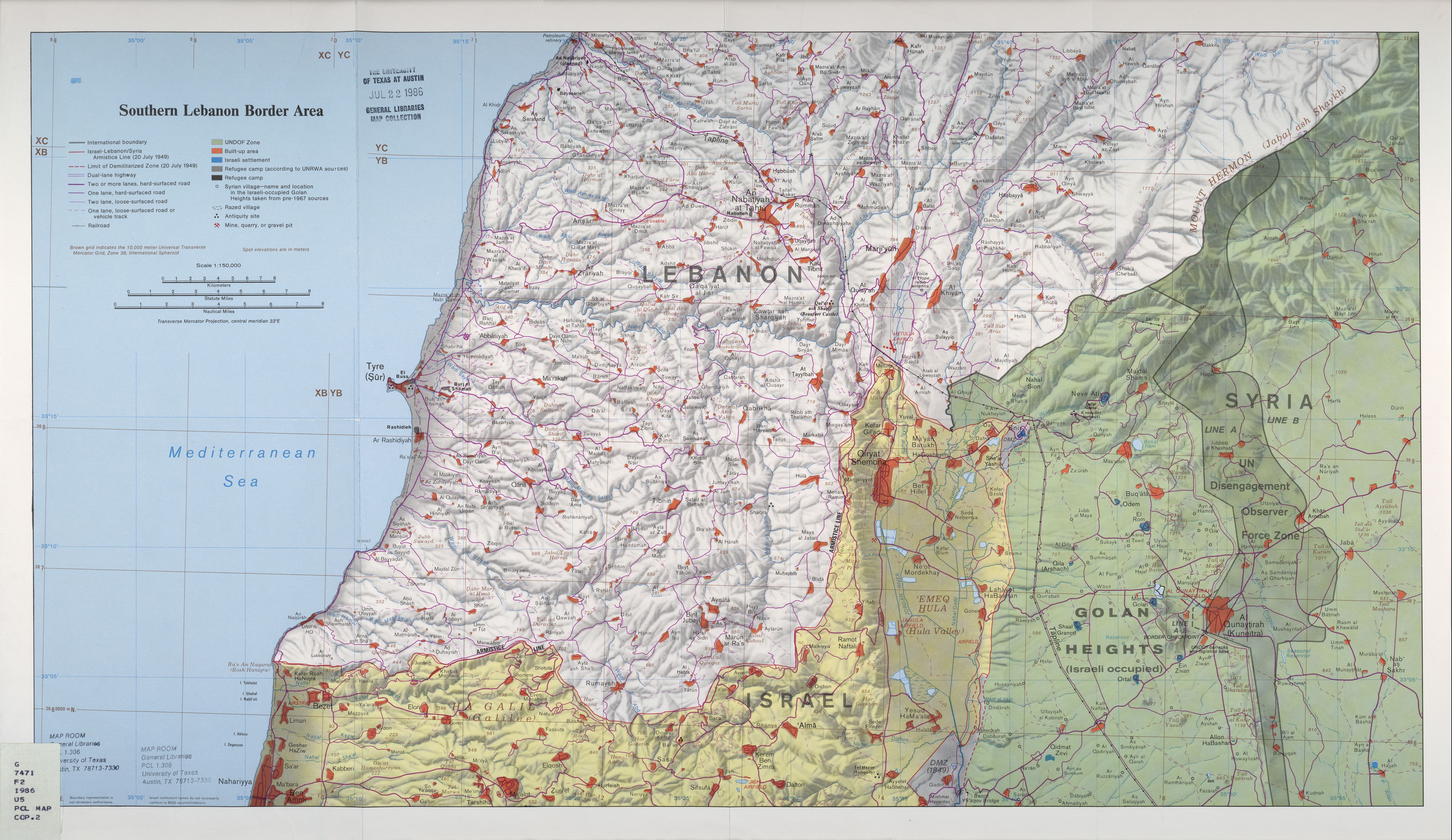
- ↑ Southern Lebanon Border Area 1986 – Map from the University of Texas at Austin general libraries map collection, showing 'Ayn Fit
- ↑ 3,0 3,1 Шаблон:Cite news
- ↑ Шаблон:Cite book