Английская Википедия:Gölköy
Материал из Онлайн справочника
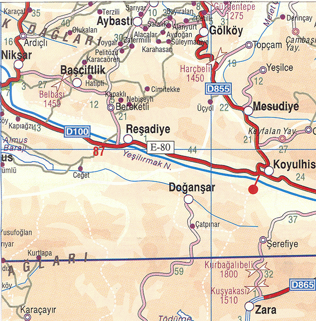
Шаблон:Other uses Шаблон:Infobox Turkey place Gölköy is a municipality and district of Ordu Province, Turkey.[1] Its area is 421 km2,[2] and its population is 25,960 (2022).[3] The town is located Шаблон:Convert inland from the city of Ordu on the road to Sivas. The town lies at an elevation of Шаблон:Convert.
Places of interest include the Byzantine castle of Habsamana, and a number of places for walking and climbing including the village of Cihadiye and the lake of Ulugöl.Шаблон:Citation needed
Composition
There are 30 neighbourhoods in Gölköy District:[4] Шаблон:Div col
- Ahmetli
- Akçalı
- Alanyurt
- Aydoğan
- Bayıralan
- Bulut
- Çatak
- Çetilli
- Cihadiye
- Damarlı
- Direkli
- Düzyayla
- Emirler
- Gölköy
- Güzelyayla
- Güzelyurt
- Haruniye
- Hürriyet
- İçyaka
- Kaleköy
- Karagöz
- Karahasan
- Konak
- Kozören
- Kuşluvan
- Özlü
- Paşapınar
- Sarıca
- Süleymaniye
- Yuvapınar
Gallery
-
Gölköy town center
-
A small lake in Gölköy district
-
Gölköy Lake view
References
External links
Шаблон:Commons category-inline
- District governor's official website Шаблон:In lang
- District municipality's official website Шаблон:In lang
- Road map of Gölköy and environs
- Detailed road map of Gölköy district
- Various images of Gölköy, Ordu
- ↑ Büyükşehir İlçe Belediyesi, Turkey Civil Administration Departments Inventory. Retrieved 19 September 2023.
- ↑ Шаблон:Cite web
- ↑ Шаблон:Cite web
- ↑ Mahalle, Turkey Civil Administration Departments Inventory. Retrieved 19 September 2023.
Категории:
- Страницы с неработающими файловыми ссылками
- Английская Википедия
- Populated places in Ordu Province
- Districts of Ordu Province
- Metropolitan district municipalities in Turkey
- Страницы, где используется шаблон "Навигационная таблица/Телепорт"
- Страницы с телепортом
- Википедия
- Статья из Википедии
- Статья из Английской Википедии