Шаблон:Use MDY dates
Шаблон:Use Canadian English
Шаблон:Infobox settlement
Gleichen Шаблон:IPAc-en is a hamlet in southeast Alberta, Canada within Wheatland County.[1] It is located adjacent to the Siksika Nation at the intersection of Highway 1 and Highway 547, approximately Шаблон:Convert southeast of Strathmore. It has an elevation of Шаблон:Convert.[2]
History
It was named after Lord Edward Gleichen in 1884.[3] Gleichen was originally incorporated as a village on January 24, 1899 and then incorporated as a town on May 6, 1910. After nearly 100 years as a municipality however, Gleichen dissolved to hamlet status under the jurisdiction of Wheatland County on March 31, 1998.[4]
During the formation of the province, Gleichen was large enough to have its own seat in the Legislative Assembly of Alberta (see Gleichen provincial electoral district). Its population peaked at 668 according to the Canada 1921 Census.
Due to its proximity to the railroad, Gleichen was readily accessible to farmers and ranchers living in the area. Its mostly wooden structures however posed an increased risk of widespread fires. After the community burned a second time in 1912, many of its residents moved elsewhere, mostly to Calgary.
Climate
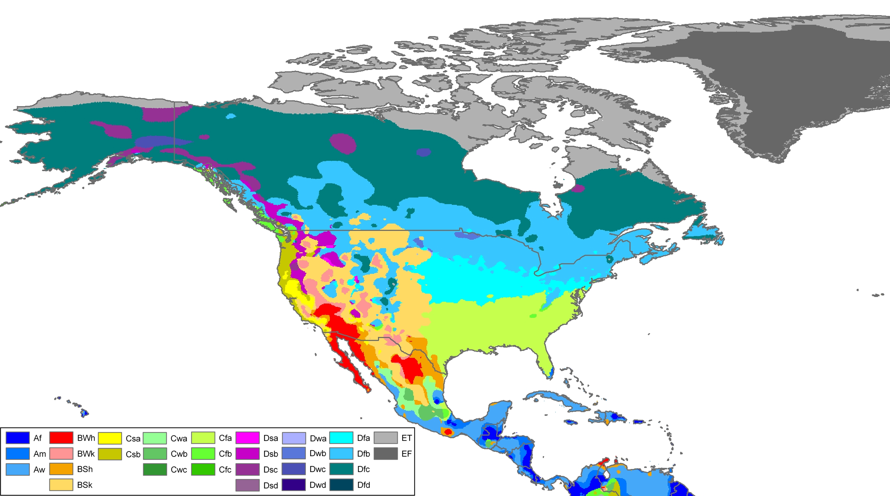
Gleichen experiences a semi-arid climate (Köppen BSk).[5] Winters are long, dry and cold, while summers are short and warm. Precipitation is usually scant, with an annual mean of Шаблон:Convert.
Шаблон:Weather box
Demographics
In the 2021 Census of Population conducted by Statistics Canada, Gleichen had a population of 314 living in 139 of its 168 total private dwellings, a change of Шаблон:Percentage from its 2016 population of 324. With a land area of Шаблон:Cvt, it had a population density of Шаблон:Pop density in 2021.[6]
As a designated place in the 2016 Census of Population conducted by Statistics Canada, Gleichen had a population of 324 living in 137 of its 172 total private dwellings, a change of Шаблон:Percentage from its 2011 population of 336. With a land area of Шаблон:Convert, it had a population density of Шаблон:Pop density in 2016.[7]
See also
References
Шаблон:Reflist
External links
Шаблон:Alberta
Шаблон:SouthernAlberta-geo-stub
| Партнерские ресурсы |
|---|
| Криптовалюты |
|
|---|
| Магазины |
|
|---|
| Хостинг |
|
|---|
| Разное |
- Викиум - Онлайн-тренажер для мозга
- Like Центр - Центр поддержки и развития предпринимательства.
- Gamersbay - лучший магазин по бустингу для World of Warcraft.
- Ноотропы OmniMind N°1 - Усиливает мозговую активность. Повышает мотивацию. Улучшает память.
- Санкт-Петербургская школа телевидения - это федеральная сеть образовательных центров, которая имеет филиалы в 37 городах России.
- Lingualeo.com — интерактивный онлайн-сервис для изучения и практики английского языка в увлекательной игровой форме.
- Junyschool (Джунискул) – международная школа программирования и дизайна для детей и подростков от 5 до 17 лет, где ученики осваивают компьютерную грамотность, развивают алгоритмическое и креативное мышление, изучают основы программирования и компьютерной графики, создают собственные проекты: игры, сайты, программы, приложения, анимации, 3D-модели, монтируют видео.
- Умназия - Интерактивные онлайн-курсы и тренажеры для развития мышления детей 6-13 лет
- SkillBox - это один из лидеров российского рынка онлайн-образования. Среди партнеров Skillbox ведущий разработчик сервисного дизайна AIC, медиа-компания Yoola, первое и самое крупное русскоязычное аналитическое агентство Tagline, онлайн-школа дизайна и иллюстрации Bang! Bang! Education, оператор PR-рынка PACO, студия рисования Draw&Go, агентство performance-маркетинга Ingate, scrum-студия Sibirix, имидж-лаборатория Персона.
- «Нетология» — это университет по подготовке и дополнительному обучению специалистов в области интернет-маркетинга, управления проектами и продуктами, дизайна, Data Science и разработки. В рамках Нетологии студенты получают ценные теоретические знания от лучших экспертов Рунета, выполняют практические задания на отработку полученных навыков, общаются с экспертами и единомышленниками. Познакомиться со всеми продуктами подробнее можно на сайте https://netology.ru, линейка курсов и профессий постоянно обновляется.
- StudyBay Brazil – это онлайн биржа для португалоговорящих студентов и авторов! Студент получает уникальную работу любого уровня сложности и больше свободного времени, в то время как у автора появляется дополнительный заработок и бесценный опыт.
- Автор24 — самая большая в России площадка по написанию учебных работ: контрольные и курсовые работы, дипломы, рефераты, решение задач, отчеты по практике, а так же любой другой вид работы. Сервис сотрудничает с более 70 000 авторов. Более 1 000 000 работ уже выполнено.
- StudyBay – это онлайн биржа для англоязычных студентов и авторов! Студент получает уникальную работу любого уровня сложности и больше свободного времени, в то время как у автора появляется дополнительный заработок и бесценный опыт.
|
|---|